
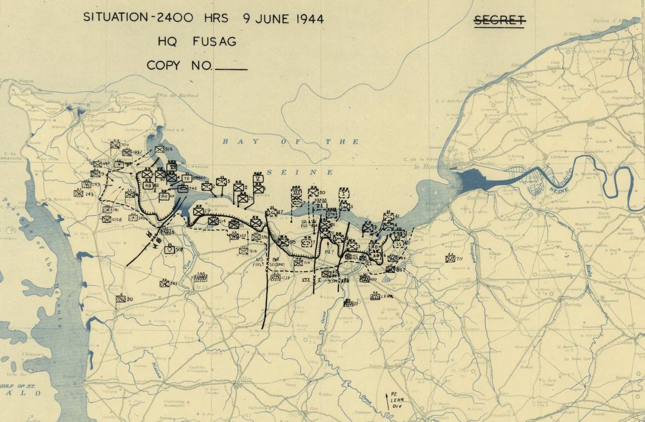
Situation Map Showing Position of Allied and German Forces Just After the D-Day Normandy
Normandy Fighting
The Germans had built a series of fortifications all along the English channel which were known as the Atlantic wall. The aim of these fortresses was to stop any allied invasion on the beaches and then push the allied invasion forces back into the sea. The German high command knew that its only chance of stopping the coming Allied invasion was to keep the Allies from breaking out of their beach heads and pushing inland. Once the allies got past the outer defences the German army and airforce would be too weak to stop the massive allied armoured formations.
Unfortunately for the Germans, the Atlantic wall had not yet been completed by the time of the invasion. Not all of the planned fortresses, pillboxes and tank traps had been built by the time of the D-Day invasion. However, the defense were still formidable, and the Allies had a very tough time.
This World War 2 newsreel shows the D-Day invasion from the allied perspective, as the Allied troops approach the Normandy coast in thousands of assault landing craft.
Allied Landing Craft on D Day
Below is a German propaganda newsreel showing German troops successfully counterattacking and capturing many allied prisoners. The allied troops shown were British and Canadian paratroopers who had landed behind the German lines in gliders or by parachute. Though the Germans did meet with localized success, the Allied onslaught soon overwhelmed the defenders on the beach.
D Day Fighting
Nonetheless the Germans put up strong resistance around the city of Caen, denying the Allies a deep water port for more than 6 weeks after the landings.
The Fighting Around Caen
| Home | | Normandy Invasion | | Normandy Fighting | | German Counter Attacks |
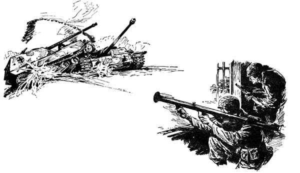
A German Tank Advances on Entrenched American Infantry
| Home | | Normandy Invasion | | Normandy Fighting | | German Counter Attacks |
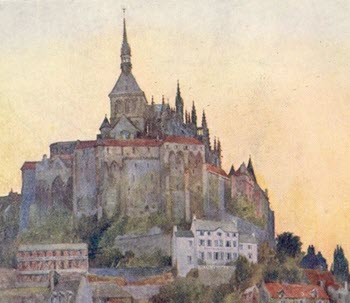
Beautiful Normandy
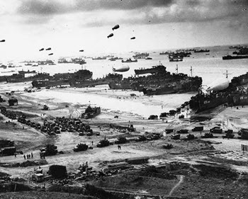
D-Day Landings
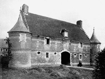
Normandy Farmhouses
This site is dedicated to the History and Culture of Beautiful Normandy France.